
Independent marine surveyors & cargo inspection at U.S. ports
Survey requests, around the clock: +1 979-250-7486 | info@amicamarine.com
Draft, dry bulk, grain, steel and P&I surveys at New Orleans and the Lower Mississippi River elevators, buoys and anchorages.
The Lower Mississippi, from the mouth of the river up to Baton Rouge, is the main U.S. outlet for grain exports and a large import route for steel, fertilizer and other bulk cargo. Ocean-going vessels load at grain elevators, midstream buoys and anchorages, often topped off from barges, which makes draft surveys and hold inspections the most common requests.
New Orleans also handles containers, breakbulk and project cargo at the Port of New Orleans public terminals.
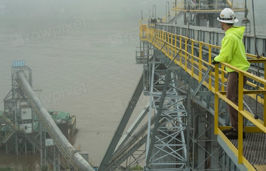
The river system includes several port authorities: the Port of New Orleans, the Port of South Louisiana and Plaquemines Port among them. Vessels enter through Southwest Pass and are handled by successive river pilot associations. Grain elevators line both banks; midstream buoys and anchorages are used for loading from barges and for waiting.
Source for port facts: Port of New Orleans. Check terminal and channel notices with the port and your agent before arrival.
Each appointment is matched to a surveyor approved for the survey type. Availability for your date is confirmed in writing before you approve.
Grain is sold on weight and quality certificates issued at loading. A draft survey gives owners and charterers their own figure for bills of lading and freight, and a hold inspection protects the owner if a hold is rejected and laytime is in dispute. River current and changing water density make careful readings and corrections essential.
Amica Marine does not have an office at New Orleans and does not claim surveyors are stationed at every terminal. When a request arrives we check which approved independent surveyors can attend the berth or anchorage on the date required, confirm their experience for the survey type, and only then quote. If we cannot cover the date, we tell you promptly.
Owners and charterers of bulk carriers, grain and fertilizer traders, steel importers, P&I clubs and insurers. Instructions also come through agents, brokers and law firms acting for these parties. See who we serve and guidance for international clients.
Depending on scope: figures with their corrections and tables, a sampling record, dated photographs, the documents reviewed and the limitations of the survey. How reports are prepared.
For grain loading, send the elevator or buoy name and the time of the official inspection if scheduled.
Yes. Readings are taken from a launch; current and swell can affect accuracy and are recorded in the report.
Yes. The surveyor records cleanliness and condition for the owner or charterer. Official grain inspections are separate.
Barge draft or condition checks can be included in the scope where access is arranged.
Requests from the mouth of the river to Baton Rouge are reviewed; coverage is confirmed per appointment.
Ocean-going ships enter the Mississippi through Southwest Pass, the deepest of the river’s mouths, and change pilots on the way upriver: the Associated Branch Pilots bring vessels from sea to Pilottown, the Crescent River Port Pilots take them to New Orleans, and the New Orleans-Baton Rouge Steamship Pilots handle the reach up to Baton Rouge. The ship channel is maintained deep enough for loaded Panamax and Post-Panamax bulk carriers as far as Baton Rouge, but the river decides the real limits. Pilots set draft restrictions according to river stage, and Vessel Traffic Service Lower Mississippi River controls movements around the tight bends at New Orleans.
High water in spring brings strong currents, debris and restrictions on night transits and anchoring; low water in late summer and autumn can tighten drafts at the bar and in the crossings. Fog closes the river regularly between late autumn and spring. Ships load at grain elevators, midstream buoys and designated anchorages along both banks, often topping off from barges, so a draft survey here has to account for current, changing water density and swell from passing tows. Surveyors confirm the berth or buoy and the river mile before attending.
Navigation details change with dredging, construction and seasonal restrictions. Always confirm current conditions with the pilots, the port authority, local notices to mariners and your agent.
Requests are read around the clock. Attendance is confirmed case by case.
Urgent, vessel alongside?
+1 979-250-7486
WhatsApp +1 979-250-7486
Vessel, port and survey type are enough to start. Details and documents can follow.